Compare the arrival and access arrangements
A regional shortlist helps you find alternatives, but each journey still needs its own plan. Compare the arrival point and the published access information below before choosing a date. These summaries are shared with the city hubs; they avoid assuming that a station name establishes a step-free route or that a nearby hotel meets your room requirements.
Bath
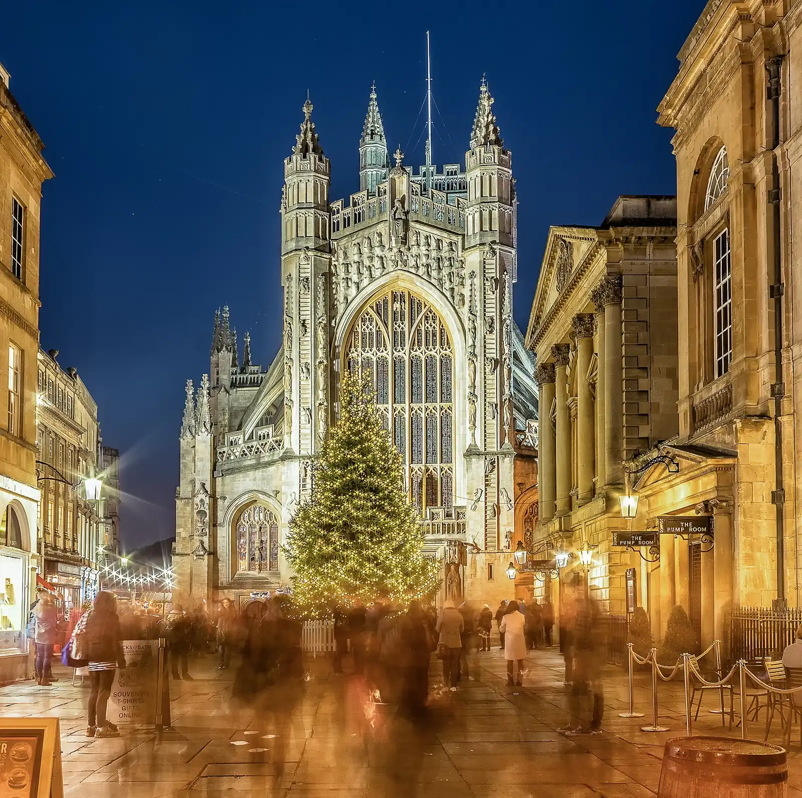
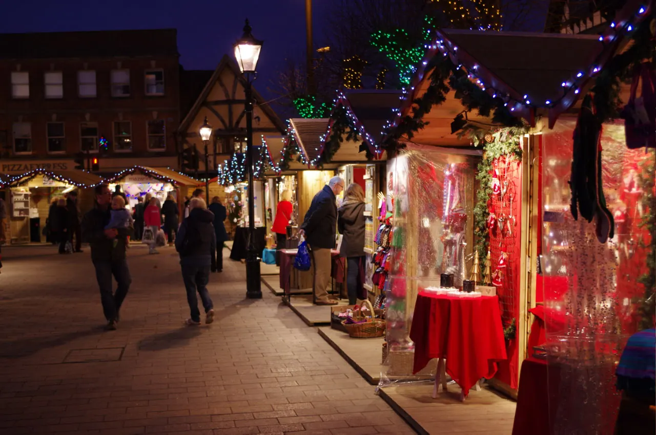
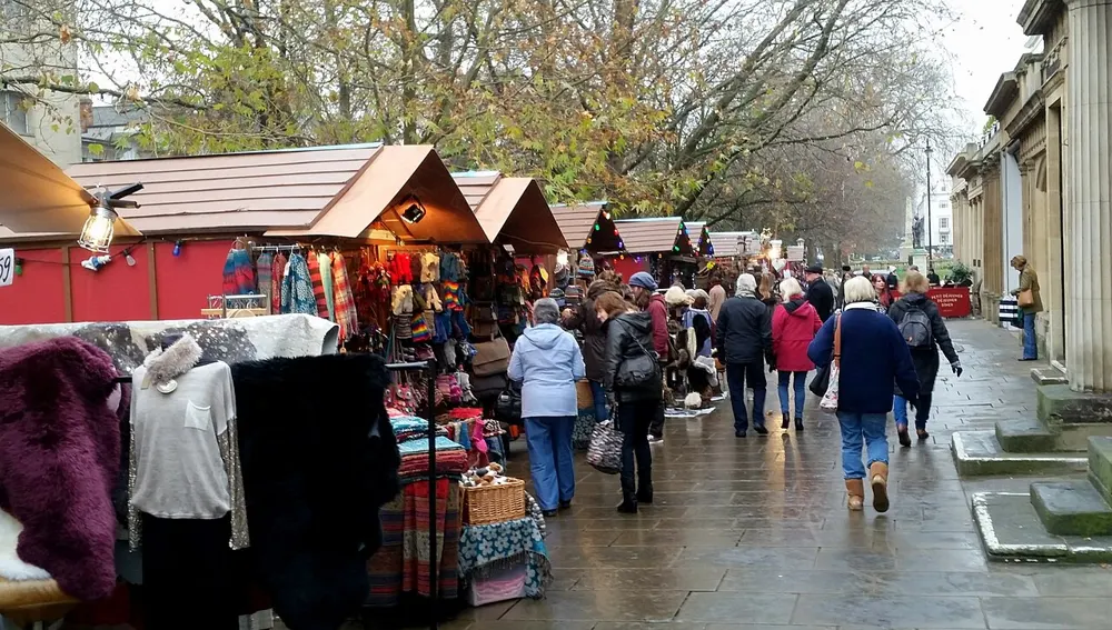
Step off the train at Bath Spa and stroll straight into the city-centre streets, with the bus station alongside on Dorchester Street. Start at the Abbey end of the market, then wander towards the makers and food that catch your eye. Coach visitors arrive on Royal Avenue: enjoy the downhill walk towards Milsom Street, leaving a little energy for the uphill return.
For an easy drive-and-bus day, compare Odd Down, Newbridge and Lansdown park and ride. SouthGate and Charlotte Street offer city-centre parking too; the map helps you choose the approach that suits your day. Check the current fare and last return bus before settling in for an evening under the lights.
Bath’s historic setting includes cobbles and slopes, so plan the approach as well as the distance. Tuesday and Wednesday 10am–noon are quieter shopping periods. The map marks the named event-toilet areas and Changing Places sites; temporary toilet pins show the street area, so ask staff for the exact unit.
Read the Bath accessibility guide
Full travel and operator links · Detailed accessibility guide
Bristol
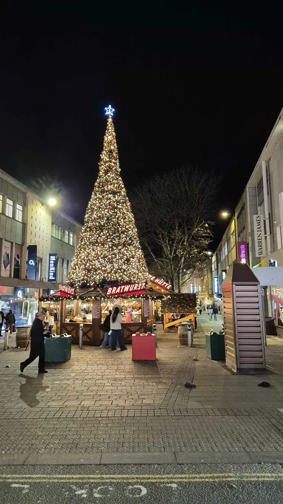
Bristol Temple Meads is the main rail arrival for the centre; Bristol Bus & Coach Station is a separate arrival point nearer Broadmead. Use the map for both. Bristol’s Old City includes pedestrianised streets, and the city has a Clean Air Zone: check your vehicle and planned route on the council website before driving. Cabot Circus offers a shopping-quarter parking option. Pick your return train before the evening bar stop; no dated 2026 last-train example is published here.
Check the organiser’s access information and contact the team about individual needs before travelling. Broadmead and St Nick’s are different venues, with streets and crossings between them. The route estimate is a general walking route, not a step-free audit. No confirmed 2026 market-specific accessible-toilet map or quiet session was found; ask the organiser for current arrangements.
Full travel and operator links · Detailed accessibility guide
Gloucester
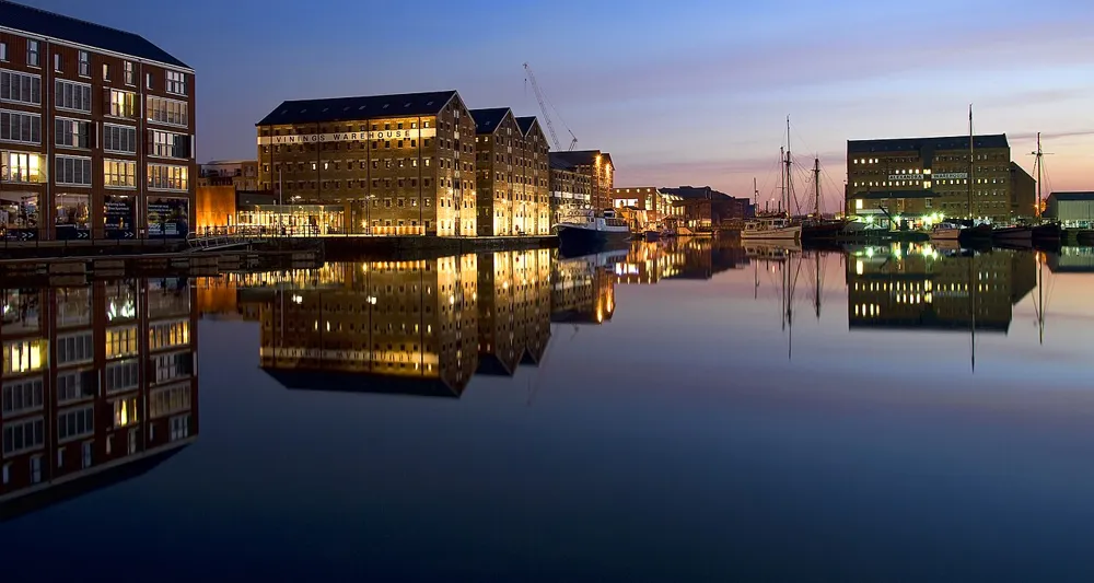
The Quays says Gloucester railway station is around a 20-minute walk away; the map shows both the station and Transport Hub. Buses also serve stops outside the Quays. Drivers can use the organiser’s getting-here page for current approaches from the M5 and parking. The Quays car park is cashless and ticketless, with Blue Badge spaces on every level. Check the latest charges and final public-transport departure before setting out.
The Quays publishes Blue Badge parking on every level of its car park and directs visitors to its customer-services team for help. The outdoor market spreads through the docks area; a walking estimate does not establish a step-free route or guarantee a particular surface. Confirm current accessible toilets, any mobility equipment and ice-rink access directly before travelling. No market-specific 2026 quiet session was confirmed.
Full travel and operator links · Detailed accessibility guide
Exeter
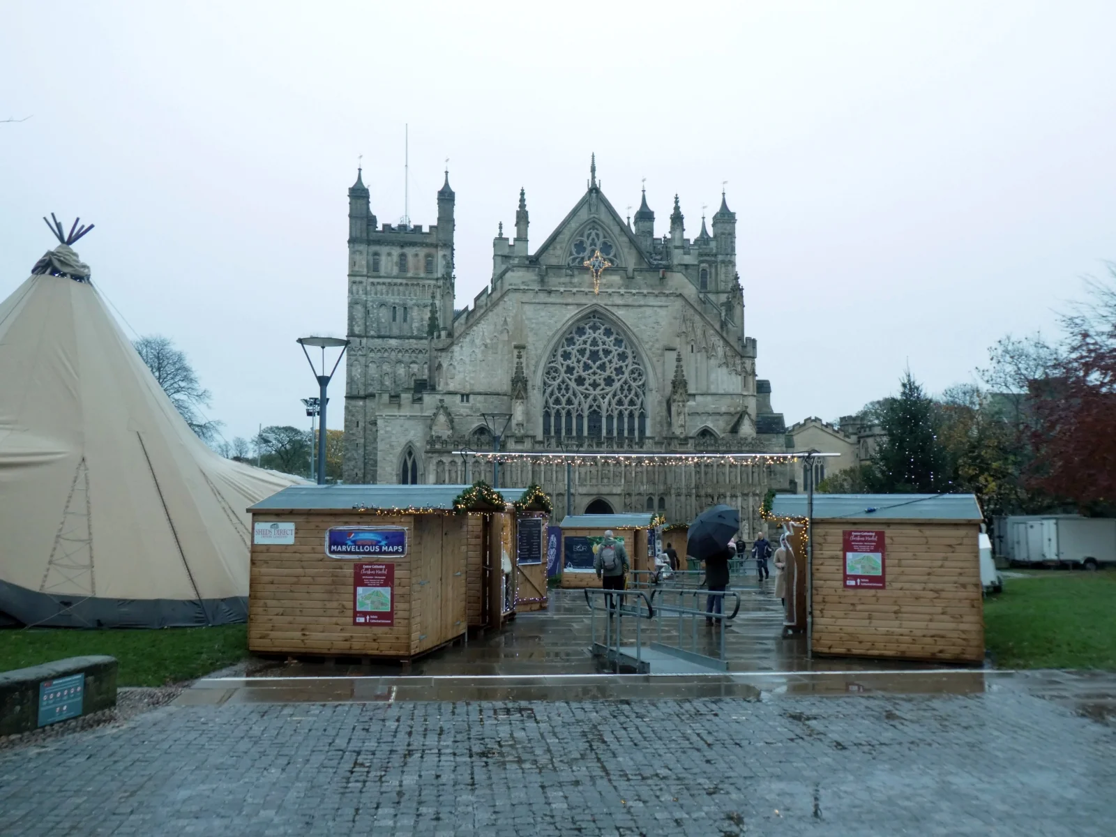
Choose your arrival point on the map and allow extra time for market crowds. Check the transport operator for your exact date before setting out.
Temporary market layouts, queues and street surfaces can affect access. Contact the organiser for the current step-free routes and exact accessible toilet locations.
Full travel and operator links · Detailed accessibility guide
Salisbury
Check official transport information and live rail services before travelling.
The city’s official access guide lists accessible public toilets in Market Place, Central Car Park, Millstream Coach Park and Queen Elizabeth Gardens. Salisbury Shopmobility hires scooters, wheelchairs and walking aids; booking ahead is advised.
The Christmas event pages do not yet publish a detailed market access statement or dedicated accessible event-toilet arrangements. Contact the council events team about a particular route, seating need or facility before travelling.
Full travel and operator links · Detailed accessibility guide
Cheltenham
Use Cheltenham Spa for rail arrivals and check the onward town-centre connection before setting off. The Promenade is the market destination, rather than the railway station itself. Consult National Rail for assistance, dated services and engineering work. If driving, use the council’s current car-park information and check restrictions before paying; December events can make central spaces busy. Choose a return service before shopping and leave a margin for queues and the journey back to the station.
The main market is on the Promenade. Visit Cheltenham’s official accessible-travel guide says the station is a mile from the centre, with buses and taxis for the onward journey. It links wheelchair-accessible taxis and explains that low-floor Stagecoach buses have limited wheelchair and approved-scooter spaces. Check your operator and station assistance before travelling.
The town guide links council disabled parking and toilets, with most public toilets using the RADAR scheme. It lists Changing Places facilities including John Lewis on the High Street and Montpellier Gardens. Check opening hours, equipment and the exact route to your chosen facility before relying on it.
Ask the organiser for the market’s current layout, dropped-kerb route and any temporary cable covers or barriers. No market-specific quiet session is promised here. A weekday near opening is our suggestion for easier browsing, not a guaranteed low-sensory session. Contact the organiser about specific requirements and plan a warm indoor break.
Full travel and operator links · Detailed accessibility guide